
LiDAR Drones Explained: Best Uses for Surveying, Mapping, and 3D Modeling
Key Takeaways
LiDAR drones give survey teams a fast way to collect three-dimensional measurements, but good results still depend on careful planning, positioning, processing, and safety practices.
- LiDAR measures distance with laser pulses and combines those measurements with GNSS and inertial data.
- The technology is especially useful for terrain, vegetation, corridors, construction, mining, and difficult-to-access sites.
- A complete system includes a drone, LiDAR sensor, positioning equipment, IMU, batteries, and processing software.
- Accuracy depends on flight design, control points, environmental conditions, and quality checks—not just sensor specifications.
- The right choice may be a purchased system, a turnkey package, or a professional surveying service.
What LiDAR drones are and how they work
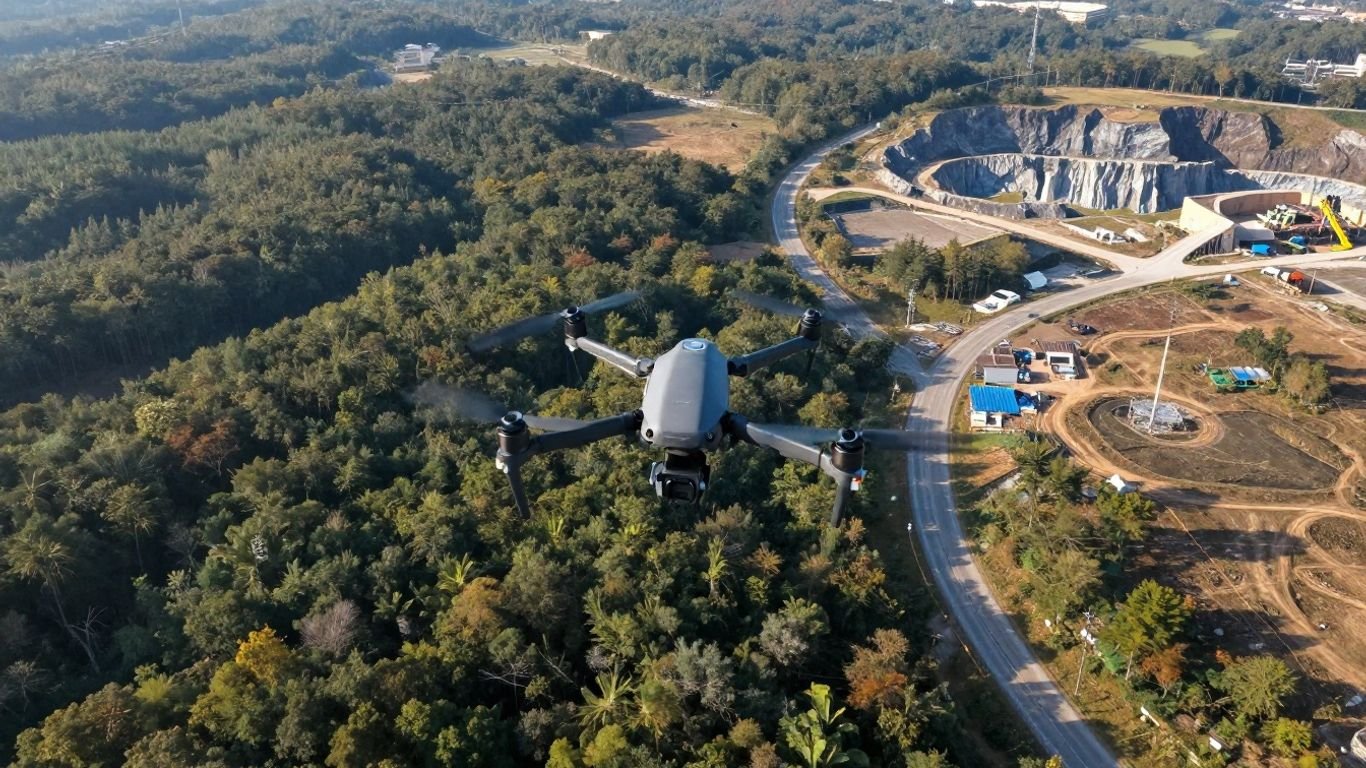
LiDAR drones are uncrewed aircraft carrying a light detection and ranging sensor. Instead of relying only on photographs, they send laser pulses toward the ground and record the returning signals. The resulting measurements form a three-dimensional point cloud that can support maps, terrain models, and engineering analysis. For a broader introduction, this overview of LiDAR drone systems explains how point clouds are created and why an additional camera may be needed for photographic color.
How laser pulses measure distance and elevation
A LiDAR sensor emits many short laser pulses each second. When a pulse reflects from a surface, the sensor measures the return time and uses it to calculate distance. Repeated measurements from different positions create a dense collection of points, while the aircraft’s altitude and position help place those points in a geographic reference system.
Elevation is not read as a single simple number. The final height depends on the sensor measurement, the aircraft’s position, its orientation, and the chosen coordinate system. That is why survey planning and processing matter as much as the act of scanning.
How the drone, LiDAR sensor, and GNSS work together
The drone provides movement and an airborne platform, while the LiDAR unit records the laser returns. GNSS supplies location information, and an inertial measurement unit records changes in orientation and motion. Processing software combines these streams so each point can be assigned a position in space.
A short flight can therefore produce a large dataset, but the system is only useful when its timing and calibration are sound. Small errors in position or orientation can become visible as stripes, offsets, or uneven surfaces in the finished point cloud.
LiDAR versus photogrammetry for aerial data collection
Photogrammetry reconstructs geometry from overlapping images. LiDAR measures geometry directly with laser returns, so it can collect useful elevation information even when surfaces have limited visual texture. Photogrammetry, by contrast, naturally supplies photographic color and can be an efficient choice when visual detail is central to the project.
The two methods are not enemies. A survey team may use LiDAR for reliable geometry and a camera for color and visual interpretation. The practical decision rests on the site, the required accuracy, the deliverables, and whether the client needs a textured visual model or primarily measured spatial data.
Why LiDAR can map terrain beneath vegetation
Laser energy can pass through gaps in leaves and branches, producing returns from multiple vertical layers. Some of those returns may come from the canopy, while others reach the understory or ground. After classification, the lower returns can help reveal terrain that photographs cannot easily see from above.
This does not mean every forest floor will be mapped perfectly. Dense foliage, wet conditions, steep slopes, and limited point density can all reduce ground returns. Still, canopy penetration is one reason LiDAR drones are valuable for forestry, environmental work, and overgrown corridors.
The main components of a LiDAR drone system
A LiDAR drone system is more than an aircraft with a scanner attached underneath. The platform must carry the payload steadily, the sensor must suit the range and density requirements, and the positioning system must support the desired accuracy. Field teams also need batteries, storage, calibration routines, and software that can turn raw measurements into usable information.
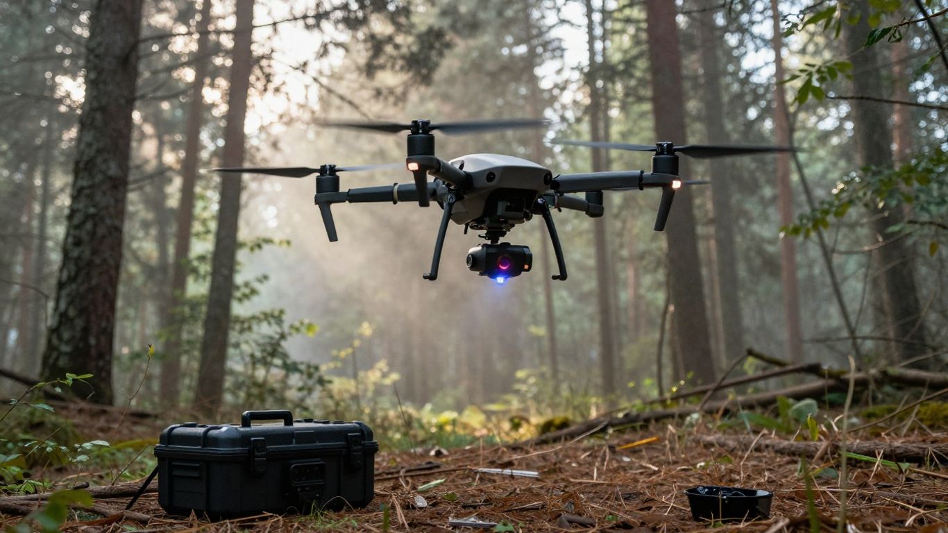
The most expensive component is not always the deciding factor. A lighter system with a sensible flight plan may be more productive than a heavier, more capable payload that shortens endurance or complicates field operations.
Choosing the right drone platform and flight endurance
The aircraft should have enough payload capacity for the LiDAR unit, GNSS equipment, IMU, mounting hardware, and any camera. It also needs stable flight behavior and enough endurance to cover the area without rushing the survey. Wind, temperature, battery age, and payload weight all affect practical flight time.
Multirotor platforms are useful where hovering, slow flight, and tight maneuvering matter. Fixed-wing aircraft can be better suited to broad areas or long corridors, though they require different launch, landing, and flight-planning conditions. The best platform is the one that fits the site rather than the one with the most impressive brochure specification.
Understanding LiDAR sensor range, accuracy, and point density
Range describes how far the sensor can measure effectively, while accuracy describes how close those measurements are to their true positions. Point density describes how many returns are collected across a given area. These values interact with altitude, speed, scan angle, surface reflectivity, and the number of flight lines.
A sensor with long range is not automatically the right choice for a low-altitude forest survey. Similarly, very high point density may be unnecessary for a broad topographic model. Define the smallest feature that must be represented, then select a sensor and flight design that can resolve it consistently.
The role of RTK and PPK positioning
Real-time kinematic, or RTK, positioning can provide corrections during the flight. Post-processed kinematic, or PPK, applies positioning corrections after the mission using recorded observations. Both approaches can improve the trajectory used to georeference the point cloud, though neither removes the need for sensible control and validation.
The choice between RTK, PPK, and additional ground control depends on the site, correction availability, required accuracy, and survey standards. A well-documented workflow makes it easier to explain how coordinates were established and to repeat the work later.
Cameras, IMUs, and other supporting sensors
A camera may add color imagery, inspection context, or visual reference to a LiDAR dataset. The IMU is essential because it tracks the aircraft’s orientation and motion while the sensor is scanning. Time synchronization between the camera, LiDAR, GNSS receiver, and IMU is equally important.
Supporting equipment should be treated as part of the measurement chain, not as an optional collection of accessories. A camera can make a model easier to interpret, but it does not replace the geometric information collected by the LiDAR sensor.
Batteries, payload capacity, and field durability
Battery planning should include takeoff, survey time, return, landing, and a conservative reserve. Field crews also need enough storage for raw data, protective cases, spare parts, and a way to work safely in changing conditions. Accessories such as drone flight gear can help organize operational necessities, but they do not compensate for an overloaded or poorly maintained aircraft.
The practical test is simple: can the team transport, assemble, fly, recharge, and protect the system repeatedly? Reliability in ordinary field conditions often matters more than a theoretical maximum.
Best uses for LiDAR surveying
LiDAR surveying is most valuable when accurate three-dimensional information is difficult, slow, or risky to collect from the ground. It can cover broad areas quickly and preserve a record that teams can measure again in the office. Still, the sensor is a tool, not a substitute for defining the survey question.
The following applications are common because they benefit from elevation data, repeatable coverage, or access to terrain hidden by vegetation and obstacles.
Topographic surveys and elevation modeling
Topographic projects use LiDAR to describe slopes, drainage patterns, embankments, exposed surfaces, and changes in elevation. Classified returns can support digital terrain models, while unclassified or differently classified points may contribute to surface models containing trees and structures.
Surveyors should establish the required vertical accuracy before choosing a flight altitude or sensor. A broad planning model and a detailed engineering survey may cover the same land but demand very different point density and validation.
Construction site surveys and progress tracking
On construction sites, LiDAR drones can document earthworks, access roads, foundations, stockpiles, and changing site conditions. Repeated flights create comparable datasets for measuring progress and identifying differences between planned and observed surfaces.
The value comes from consistency. Similar flight plans, coordinate references, and processing settings make comparisons more meaningful. Crews should also account for people, equipment, temporary structures, and restricted operating areas before launching.
Corridor mapping for roads, railways, and utilities
Roads, railways, pipelines, transmission routes, and drainage channels are naturally linear survey targets. LiDAR can collect a continuous strip of terrain and infrastructure information while reducing the need to place people in traffic zones, on steep slopes, or near other hazards.
Corridor work requires careful attention to turns, bridges, cuttings, tree cover, and changing elevation. Flight lines should provide enough overlap and side coverage to avoid gaps along the edges of the route.
Forestry inventories and vegetation analysis
Forestry teams can use point clouds to describe canopy height, vertical structure, gaps, and ground elevation. The data may support inventory work, access planning, habitat studies, and management decisions. Results depend heavily on forest type, season, scan angle, and the amount of laser energy reaching lower layers.
LiDAR should be interpreted alongside field observations and appropriate ecological methods. A point cloud can reveal structure, but it does not automatically identify every species or explain why vegetation is changing.
Mining, stockpile, and quarry measurements
Mines and quarries benefit from repeatable measurements of pits, benches, haul roads, faces, and stockpiles. A point cloud can be used to calculate volumes and monitor changes between survey dates, provided the surfaces are captured consistently.
For stockpile work, the base surface and material boundaries must be defined carefully. Dust, steep faces, shadowed areas, and machinery can create incomplete returns, so an operator should inspect the dataset before accepting a volume calculation.
Using LiDAR drones for mapping and 3D modeling
A LiDAR flight produces raw measurements, not a finished map. Processing turns the point cloud into classified layers, surfaces, contours, meshes, and other deliverables. Each output answers a different question, so the project team should decide early whether the audience is a surveyor, engineer, GIS analyst, designer, asset manager, or general decision-maker.
The same dataset may support several products, but extra outputs can require additional classification, editing, or quality control. Good deliverables are defined by their intended use, not by the number of file types included.
Creating point clouds, digital terrain models, and digital surface models
A point cloud is the primary three-dimensional collection of measured returns. Classification separates likely ground, vegetation, buildings, and other surfaces. A digital terrain model generally focuses on the bare-earth surface, while a digital surface model includes objects such as trees and structures.
The distinction matters when interpreting height and volume. A terrain model may be appropriate for drainage or grading, whereas a surface model may better describe rooftops, canopy, or above-ground infrastructure.
Producing contours, orthomosaics, and classified map layers
Contours are generated from an elevation surface and can support planning, design, and field interpretation. If imagery is collected alongside LiDAR, an orthomosaic can provide a corrected aerial view with useful visual context. Classified layers let users isolate the returns relevant to a specific analysis.
These products should carry metadata describing coordinate reference systems, units, processing decisions, and known limitations. A map that looks polished but lacks that information can be difficult to use responsibly.
Building 3D meshes and digital twins
Meshes connect measured points into a continuous-looking surface. They can help viewers inspect buildings, structures, terrain, and other complex forms from different angles. A digital twin goes further by connecting a spatial model with information about an asset, site, or process.
Not every LiDAR project needs a mesh. For engineering calculations, a classified point cloud or surface may be more useful and easier to validate. Choose the representation that supports the decision rather than adding visual complexity for its own sake.
Mapping buildings, infrastructure, and difficult-to-access sites
LiDAR drones can collect geometry around roofs, facades, bridges, cut slopes, towers, and other locations that are awkward or hazardous to measure directly. Flight paths may need to vary in altitude and direction so the sensor sees vertical faces as well as horizontal surfaces.
Access remains a human and legal issue. Before flying, confirm property permissions, public safety controls, and any restrictions around the site. A useful discussion of drone legal considerations also illustrates why privacy and security belong in the planning conversation.
Deliverables for GIS, CAD, and engineering workflows
GIS users may need georeferenced point clouds, raster surfaces, classified layers, or web-ready visualization. CAD and engineering teams may prefer contours, breaklines, meshes, or surfaces that can be checked against design data. The delivery format should be agreed before processing begins.
A clear handoff includes coordinate reference information, accuracy reports, survey dates, control-point details, and notes about missing or filtered data. That documentation often saves more time than a last-minute conversion between file formats.
A practical LiDAR drone mapping workflow
A dependable mission begins before the aircraft leaves its case. The team should define the question, understand the site, select a coordinate framework, and decide how accuracy will be assessed. These steps prevent a common and costly mistake: collecting a large dataset that does not answer the client’s actual question.
The workflow is broadly repeatable, but the details change with terrain, vegetation, weather, airspace, and final deliverables.
Defining the survey area, accuracy, and final deliverables
Start with a boundary, a purpose, and an accuracy requirement. Identify whether the project needs terrain, surface, vegetation, infrastructure, volume, or change information. Then list the final outputs and the software or teams that will use them.
A short written specification can settle questions about coordinate systems, units, point density, acceptable gaps, classification, and reporting. It also gives the pilot and processor a shared definition of a successful mission.
Planning flight altitude, overlap, speed, and scan patterns
Altitude and speed influence point density, footprint, coverage, and the ability to see vertical or obstructed surfaces. Overlap between adjacent flight lines helps reduce gaps and supports more consistent coverage. Corridors and structures may need cross-lines or oblique passes in addition to a simple grid.
A practical preflight checklist usually includes:
- Confirming the boundary, obstacles, launch point, and emergency landing areas.
- Checking battery levels, storage capacity, sensor mounting, and time synchronization.
- Reviewing weather, visibility, wind, terrain, and nearby people or vehicles.
- Verifying GNSS corrections, control-point plans, and the intended coordinate system.
This preparation is not bureaucracy for its own sake. It reduces the chance that a team has to return to a site because one edge, elevation band, or critical structure was missed.
Establishing ground control and check points
Ground control points help tie the dataset to known coordinates, while independent check points test the result. Their placement should cover the survey area and reflect changes in elevation and terrain rather than clustering in one convenient location.
The number and distribution depend on the project standard, terrain, positioning method, and required accuracy. Check points should not be treated as control points during processing if they are intended to provide an independent assessment.
Capturing, georeferencing, and processing LiDAR data
During capture, the operator monitors the aircraft, payload, battery, positioning status, and mission progress. After landing, raw LiDAR, GNSS, IMU, and camera data should be copied and preserved before processing. Trajectory computation, calibration, strip adjustment, georeferencing, classification, and surface generation then follow in a controlled sequence.
Processing choices should be recorded, especially when points are removed, filtered, or manually classified. That record makes the work easier to audit and helps another analyst reproduce the result.
Reviewing accuracy and documenting survey results
Quality review should include visual inspection, coverage checks, control-versus-check comparisons, and examination of seams or unusual height patterns. The final report should state what was surveyed, when it was surveyed, how it was positioned, what accuracy was achieved, and where limitations remain.
Repeat surveys are most useful when the same reference system, comparable flight design, and consistent processing rules are used. Otherwise, apparent change may reflect the method rather than the landscape.
How to choose the right LiDAR drone system
Buying a LiDAR drone system is a decision about the whole workflow, not only the scanner. Platform, payload, positioning, software, training, maintenance, insurance, and regulatory demands all affect the real cost. A system that is excellent for a forest inventory may be inconvenient for a tight urban site or a long utility corridor.
For Mixed Nature readers evaluating technical equipment, the sensible approach is practical: begin with the work, then match the equipment to it. Product pages and bundles should be checked against the actual survey specification rather than accepted at face value.
Matching sensor performance to the project environment
Consider canopy density, surface reflectivity, altitude, terrain relief, corridor width, expected point density, and the smallest feature that must be measured. Also consider whether the work is seasonal, repeat-based, or likely to expand into new environments.
A system should provide enough performance margin for ordinary field conditions. Operating at the absolute edge of range, endurance, or density leaves little room for wind, battery aging, or an unexpectedly complex site.
Comparing turnkey systems with custom payload configurations
Turnkey systems can simplify integration, training, and support because the aircraft, payload, and software are designed to work together. Custom configurations may offer flexibility when a team already owns compatible equipment or needs a specialized combination of sensors.
The comparison should include setup time, calibration, firmware management, replacement parts, and staff familiarity. A lower purchase price can lose its advantage if every mission requires extensive troubleshooting.
Evaluating software, file formats, and workflow compatibility
Ask whether the processing tools support the required coordinate systems, point-cloud formats, classifications, surfaces, and exports. Check how licenses are charged, whether processing is local or cloud-based, and how large datasets are archived.
A useful evaluation also looks at support and documentation. Even unrelated service comparisons, such as True Appliance Repair, show why clear scope and upfront expectations matter when choosing a provider; technical surveying deserves the same discipline.
Estimating acquisition, training, and operating costs
The budget should include the aircraft, sensor, positioning equipment, batteries, charger, storage, software, calibration, transport, insurance, pilot training, maintenance, and staff time. Repeated projects may justify ownership, while occasional work may favor outsourcing.
Procurement teams should be cautious with vague package descriptions. A legitimate IPTV service guide, for example, focuses on compatibility, pricing, security, and hidden costs; those same questions are useful here, even though the equipment and application are entirely different.
When to hire a professional LiDAR service instead
Hiring a specialist can make sense when the project is infrequent, legally sensitive, technically demanding, or subject to formal surveying requirements. It may also be the better choice when the organization lacks a qualified remote pilot, processing staff, or a way to validate results.
Ask a provider for sample deliverables, accuracy documentation, insurance details, data handling terms, and a clear statement of what is included. Avoid selecting solely on the lowest flight quote.
LiDAR drone limitations, regulations, and safety
LiDAR drones can reduce field exposure, but they do not remove risk. Aircraft still operate near people, property, power lines, trees, roads, and other airspace users. Data can also be incomplete or misleading when the environment, flight plan, or processing method is poorly matched to the job.
In the United States, operators must follow applicable federal, state, and local requirements. Rules change, so a current review of airspace, authorization, and operating conditions should be part of every mission plan.
Weather, terrain, vegetation, and line-of-sight constraints
Rain, fog, dust, snow, strong wind, heat, and cold can affect flight safety and sensor performance. Steep terrain may block line of sight between the aircraft and the controller or create poor viewing geometry. Dense vegetation can reduce ground returns even when the canopy appears visually penetrable.
Urban environments introduce additional constraints, including buildings, radio interference, traffic, and people. A conservative plan with alternate launch points and abort conditions is safer than trying to force a mission through marginal conditions.
Common sources of inaccurate or incomplete data
Errors can come from poor GNSS reception, weak trajectory data, incorrect lever-arm measurements, timing problems, inadequate overlap, excessive speed, reflective or absorbent surfaces, and insufficient ground returns. Processing can add problems through incorrect coordinate settings, over-filtering, or mistaken classification.
A polished visualization is not proof of accuracy. Inspect the raw coverage, compare independent check points, and investigate any repeated bands, voids, shifts, or unexpected surface artifacts.
FAA rules, airspace authorization, and remote pilot requirements
Commercial operations in the United States generally fall under FAA rules for small unmanned aircraft, including requirements related to remote pilots, aircraft registration, airspace, operating limitations, and identification. The exact requirement depends on the operation, location, aircraft, and applicable waiver or authorization.
Operators should check current FAA guidance and airspace tools before each mission. They should also understand local restrictions, landowner permissions, emergency procedures, and the practical legal issues discussed in broader drone safety and privacy guidance.
Privacy, property access, and data security considerations
A survey may capture homes, yards, workplaces, vehicles, or people who are not part of the project. Obtain permission where required, limit collection to the necessary area, and explain how imagery and point clouds will be stored and shared. Sensitive infrastructure data may need access controls, encryption, retention limits, and a defined deletion policy.
Property access is separate from airspace permission. A pilot may be allowed to fly in a location yet still need landowner approval to launch, place control points, or enter a site. Clear agreements protect both the operator and the client.
Maintaining equipment and validating repeat survey results
Inspect propellers, motors, mounts, cables, batteries, landing gear, sensor windows, and storage media regularly. Keep firmware, calibration records, maintenance logs, and battery-cycle information organized. Equipment should be tested after transport, repair, or a significant change in payload.
For repeat surveys, preserve the reference framework and document any changes in aircraft, sensor, altitude, season, weather, or processing. Good records make genuine site change easier to distinguish from measurement variation. Even a baby nasal aspirator guide stresses cleaning and maintenance; the principle is universal, though aerial survey equipment demands a far more formal inspection routine.
Mental well-being also deserves practical attention during long or demanding field programs. Teams can review resources such as Mental Health First Aid when building broader workplace safety procedures, alongside the aviation-specific controls required for drone operations.
Conclusion
LiDAR drones are powerful surveying tools because they combine rapid aerial coverage with detailed three-dimensional measurement. Their best results come from matching the system to the site, planning the mission carefully, validating the data, and treating safety and documentation as part of the survey itself. For Mixed Nature, the broader lesson is straightforward: useful technology should be understood clearly, chosen thoughtfully, and used with respect for the people and places it records.
Frequently Asked Questions
What are LiDAR drones used for?
They are used for topographic surveys, construction documentation, corridor mapping, forestry analysis, mining measurements, infrastructure mapping, and three-dimensional modeling.
How accurate are LiDAR drones?
Accuracy varies with the sensor, aircraft trajectory, flight design, control points, terrain, vegetation, processing, and quality-control method. A manufacturer’s specification is not a guarantee for every project.
Can LiDAR drones see through trees?
Laser pulses can pass through gaps in vegetation and may produce returns from branches, understory, and ground. Dense foliage, moisture, scan geometry, and point density can still limit the completeness of the terrain model.
Is LiDAR better than photogrammetry?
Neither is universally better. LiDAR directly measures geometry and can perform well where visual texture or vegetation makes image reconstruction difficult, while photogrammetry provides rich color imagery and can be efficient for visually detailed models.
Do LiDAR drone surveys need ground control points?
They may not always need extensive ground control when high-quality RTK or PPK positioning is used, but independent check points are valuable for validating accuracy. Requirements depend on the project standard and intended use.
How long does a LiDAR drone survey take?
The flight itself may be relatively short, but total project time includes planning, permissions, control-point placement, field capture, trajectory processing, classification, quality checks, and delivery preparation.
Should I buy a LiDAR drone or hire a service?
Buying may make sense for organizations with regular survey work and trained staff. Hiring a professional service is often more practical for occasional, highly regulated, technically complex, or accuracy-critical projects.