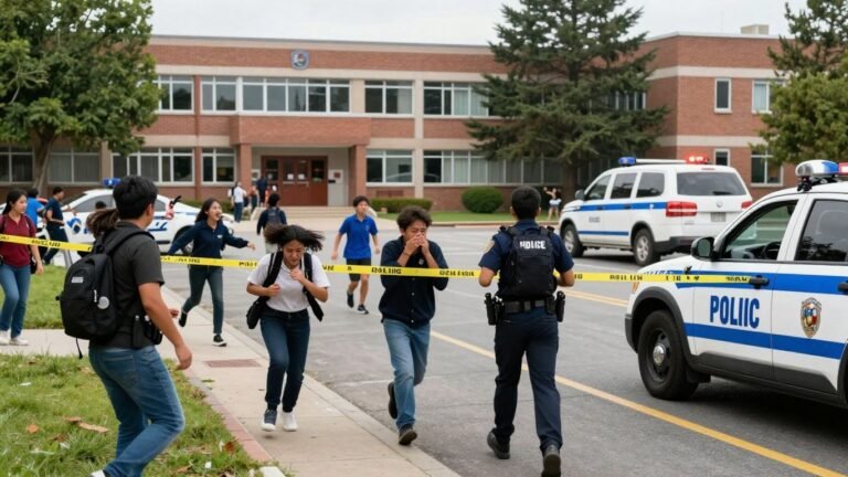
Students Flee as Deadly School Shooting Shocks the Philippines
Students were seen fleeing a school in the Philippines after a deadly shooting, according to video footage associated with the incident. The attack has renewed concern over safety in educational spaces, while key details—including the exact location, casualty figures, motive and suspect status—remain limited in the available information. Key takeaways A deadly shooting was reported…




![[Donald Trump] gestures near a pile of money.](https://countrybrief.com/wp-content/uploads/2026/09/journalist2Fae5a5107-d867-458d-bbdf-ab0cddf3ab032Fthumbnail-768x432.jpeg)